
Flood watch posted for Phoenix metro as storm chances increase overnight into Wednesday
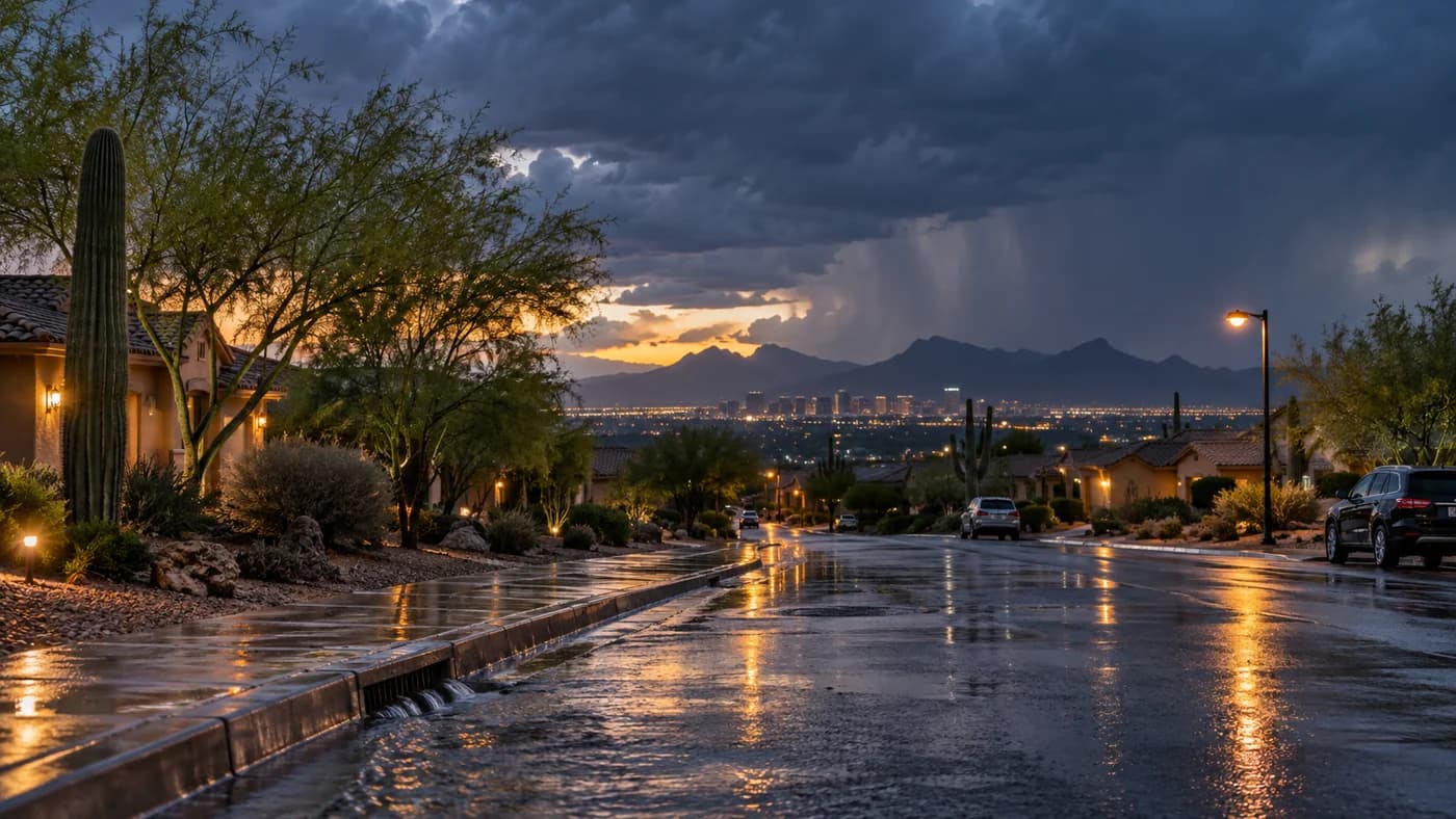
A flood watch was posted for the Phoenix metro as storm chances increase overnight into Wednesday.
Photo: AI-generated image by Arizona Asians
A flood watch is in effect for the Phoenix metro area from late Tuesday night through Wednesday as a wetter stretch of monsoon weather moves across central Arizona. Forecasters say rain could be heavy enough to cause flash flooding in low-lying and flood-prone areas, especially during the overnight hours.
A flood watch has been posted for the Phoenix metro area from late Tuesday night through Wednesday as storm chances rise across central Arizona, raising the risk of flash flooding in places that can fill quickly with runoff. The National Weather Service said the watch reflects a period of increasing rain potential during the region’s active monsoon pattern.
The alert covers the metro area while rain chances climb through Tuesday and Wednesday, with forecasters warning that heavy bursts could affect roads, washes and other low-lying spots. Local weather coverage said the remainder of Tuesday and all of Wednesday were declared First Alert Days because of the increased threat of rain and storms.
The National Weather Service Phoenix office said early Tuesday that flash flooding could develop from around the Phoenix metro into higher terrain, with the heaviest activity expected to come in waves rather than as one steady rain. Its outlook also indicated that scattered showers and storms could persist into Wednesday night before gradually diminishing as drier air moves in later in the week.
What forecasters are watching
The Phoenix forecast office said the watch timing was tied to late-night and Wednesday storm chances, and its public weather page listed a flood watch beginning at 12:00 a.m. MST on Wednesday and running through 11:00 p.m. MST. A weather briefing issued by the office also described above-normal moisture levels for September and noted that rainfall totals could reach roughly 1.4 to 1.6 inches in parts of the Phoenix area, enough to create flooding concerns if storms train over the same locations.
The watch comes during the final stretch of the Southwest monsoon season, when Arizona often sees its most intense rain of the year in short, localized downpours. In the Phoenix area, that can mean fast-moving storms, brief visibility drops and sudden flooding in washes and underpasses even when rainfall totals look modest on a citywide basis.
Forecasters said storm activity should ease Wednesday evening, leaving only isolated showers and thunderstorms overnight. Drier air is expected to arrive heading into Thursday, which should push most of the remaining rain chances toward the higher terrain outside the metro area.
Topics
Source: National Weather Service
View original source ↗